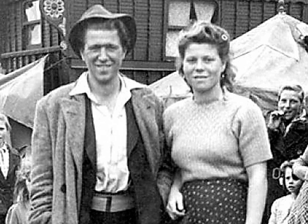
Many generations of Romany Gypsies, Irish Travellers and travelling showpeople have lived and worked in London, making unique contributions to the capital’s social, economic and cultural life.
In Lambeth, Gypsy Hill, Romany Road and other place names recall the large encampment that Samuel Pepys noted in his seventeenth century diary.
From Tuesday 29 August to Saturday 2 September, Herne Hill’s Carnegie library will host the Mapping the Histories of London’s Travellersexhibition from London Gypsies & Travellers.
The Friends, Families and Travellers project Travelling Tales will join the exhibition, enabling you to experience a first-hand look at how life on the road used to be, including a real-life vardo – Gypsy “caravan”.
The exhibition gives insights into the geography of nomadic life and its links to the economic hub of London through interactive online maps recording Travellers’ camps, yards, and long-term settlements; and routes between London and surrounding counties.
The maps draw on archives and first-hand accounts to document the development of activism in the East End in the 20th century, and record Travellers’ disillusion with policies that took away more freedoms than they granted rights, and encouraged antagonism towards people who had lived and worked alongside settled Londoners for centuries.
The maps cover two overlapping periods: London between the 19th and mid-20th century – showing relationships between principal routes, green corridors, yards and stopping places; and London from the 1970s – marking the troubled transition from camps to sites.
Carnegie library
192 Herne Hill Road
SE24 ODG
Opening times
Monday 2–7pm
Tuesday– 10am–1pm; 2–7pm
Wednesday 10am–1pm; 2–6pm
Thursday 10am–1pm; 2–7pm
Friday 10am–1pm; 2–6pm
Saturday 9am–1pm; 2–5pm
Sundays and bank holidays closed


